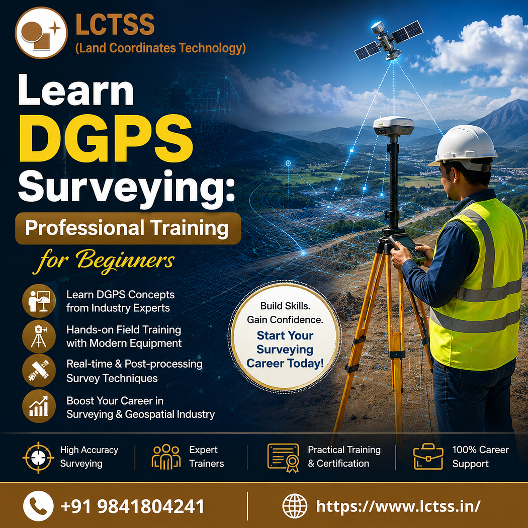
Learn DGPS Surveying: Professional Training for Beginners at LCTSS (Land Coordinates Technology) and build a strong foundation in one of the most in-demand surveying technologies. Differential Global Positioning System (DGPS) is widely used in land surveying, construction, infrastructure development, GIS mapping, mining, road projects, and utility management. With the increasing demand for accurate geospatial data, professionals skilled in DGPS surveyor training are highly valued across various industries.
LCTSS offers industry-oriented training that combines theoretical concepts with practical field experience. Whether you are a beginner, civil engineering student, survey professional, or GIS enthusiast, this course helps you understand DGPS technology and apply it confidently in real-world projects.
What is DGPS Surveying?
Differential Global Positioning System (DGPS) is an advanced positioning technology that improves the accuracy of standard GPS measurements. It uses a fixed base station and a rover receiver to correct positioning errors, providing highly accurate coordinates suitable for professional surveying applications.
DGPS is commonly used for:
- Land boundary surveys
- Topographic surveys
- Construction layout
- Highway and railway projects
- GIS data collection
- Utility mapping
- Agricultural land surveys
- Mining and infrastructure development
Learning DGPS surveying opens doors to numerous career opportunities in both government and private sectors.
Why Choose LCTSS for DGPS Surveying Training?
LCTSS (Land Coordinates Technology) is committed to delivering professional surveying education with practical exposure. The training program is designed according to industry standards, enabling learners to work confidently on live surveying projects.
Some key advantages include:
- Industry-experienced trainers
- Practical field sessions
- Modern DGPS equipment training
- Real-time surveying projects
- Individual attention
- Job-oriented curriculum
- Course completion certificate
- Career guidance and technical support
The course focuses on both technical knowledge and practical implementation, ensuring students gain hands-on experience.
Course Objectives
The Learn DGPS Surveying: Professional Training for Beginners program helps students:
- Understand GPS and DGPS fundamentals
- Learn coordinate systems
- Perform accurate land surveys
- Operate DGPS equipment
- Conduct field observations
- Process survey data
- Generate survey reports
- Import and export survey data
- Understand GIS integration
- Improve surveying accuracy
Students also learn professional surveying workflows followed in engineering and infrastructure projects.
What You Will Learn
The training covers all essential concepts required to become a skilled DGPS surveyor.
Introduction to Surveying
Students begin by learning:
- Basic surveying principles
- Types of land surveys
- Survey measurements
- Mapping concepts
- Coordinate systems
- Datum and projections
This foundation makes it easier to understand advanced DGPS operations.
GPS Fundamentals
The course explains:
- GPS satellites
- Signal transmission
- GPS positioning methods
- Sources of positioning errors
- Navigation concepts
- Satellite geometry
Understanding GPS fundamentals is important before moving to DGPS surveying.
DGPS Equipment Training
Students receive hands-on training with professional equipment, including:
- DGPS Base Station
- Rover Receiver
- Controller
- Antenna setup
- Batteries and accessories
- Data collectors
Each participant learns equipment setup, calibration, and maintenance.
Field Survey Practice
Practical training includes:
- Site reconnaissance
- Base station setup
- Rover operation
- Data collection
- Control point establishment
- Coordinate measurement
- Boundary survey
- Topographic survey
Real-time field exercises help students build confidence.
Data Processing
Collected field data is processed using professional software.
Students learn:
- Data download
- Coordinate correction
- Data validation
- Point processing
- Survey adjustment
- Report generation
- Exporting survey files
These skills are essential for producing accurate survey deliverables.
Applications of DGPS Surveying
DGPS technology is used across numerous industries.
Construction Industry
Construction companies use DGPS for:
- Building layout
- Road alignment
- Bridge construction
- Site planning
- Earthwork measurements
High positioning accuracy reduces construction errors.
Civil Engineering
Civil engineers use DGPS for:
- Infrastructure planning
- Utility mapping
- Site development
- Drainage projects
- Highway design
DGPS ensures precise project execution.
GIS Mapping
GIS professionals rely on DGPS for:
- Spatial data collection
- Asset mapping
- Environmental surveys
- Municipal mapping
- Land information systems
Accurate coordinates improve GIS database quality.
Agriculture
DGPS supports precision farming through:
- Field boundary mapping
- Irrigation planning
- Crop monitoring
- Soil management
- Farm land measurements
Mining
Mining companies use DGPS for:
- Mine planning
- Volume calculations
- Stockpile measurement
- Exploration surveys
- Equipment positioning
Government Projects
Government departments use DGPS in:
- Smart city development
- Land records
- Forest surveys
- Public infrastructure
- Water resource management
Benefits of Learning DGPS Surveying
Learning DGPS surveying provides numerous career advantages.
Some major benefits include:
- High industry demand
- Better salary opportunities
- Practical technical skills
- Global career prospects
- Professional certification
- Improved surveying accuracy
- Strong GIS integration skills
- Enhanced employability
DGPS knowledge is valuable for both fresh graduates and experienced professionals looking to upgrade their skills.
Who Can Join This Course?
The training program is suitable for:
- Civil Engineering students
- Diploma students
- Survey professionals
- GIS professionals
- Architects
- Construction engineers
- Site engineers
- Government employees
- Infrastructure professionals
- Fresh graduates
- Job seekers
No prior DGPS experience is required, making it ideal for beginners.
Career Opportunities After DGPS Training
After completing the course, learners can pursue roles such as:
- DGPS Surveyor
- Land Surveyor
- GIS Survey Technician
- GIS Executive
- Site Survey Engineer
- Mapping Specialist
- Infrastructure Surveyor
- Construction Survey Engineer
- Geospatial Technician
- Survey Consultant
Demand for DGPS professionals continues to grow with increasing investments in infrastructure and smart city projects.
Practical Learning Experience
At LCTSS, practical training is given equal importance as classroom learning. Students participate in live field surveys using professional DGPS equipment and industry-standard workflows. This hands-on approach helps them understand real project challenges, improve problem-solving skills, and gain the confidence required to work independently on surveying assignments.
Why DGPS Skills Matter Today
Modern construction, transportation, urban planning, and GIS projects depend on accurate geospatial information. DGPS technology provides reliable positioning with centimeter-level accuracy, making it an essential tool for engineers, surveyors, and mapping professionals. By mastering DGPS surveying, learners gain a competitive advantage and become valuable assets in today’s geospatial industry.
Conclusion
The Learn DGPS Surveying: Professional Training for Beginners course from LCTSS (Land Coordinates Technology) is designed to provide comprehensive knowledge and practical expertise in modern surveying techniques. From understanding GPS fundamentals to operating professional DGPS equipment and processing survey data, the course prepares learners for real-world engineering, GIS, and infrastructure projects. If you are looking to start a rewarding career in land surveying or upgrade your professional skills, LCTSS offers the right combination of expert guidance, practical training, and industry-focused learning to help you succeed.